
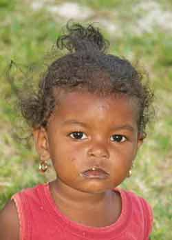
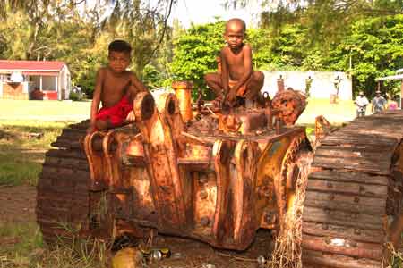
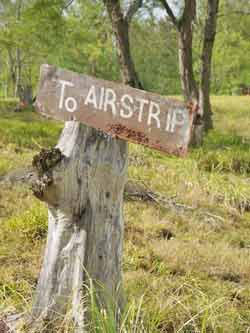
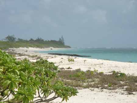
Agaléga
Latitude: 10.40º S, Longitude: 56.55º E
Quick details
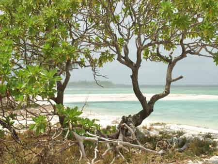
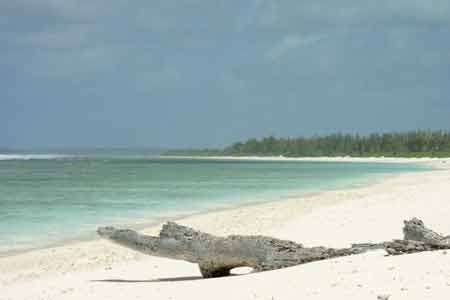
Agalega consist's or two small islands, the North Island, which is also the main island, and the South Island, located in the Indian Ocean, 1122 Km (697 miles) north of Mauritius. The islands have a total land area of 27 square miles (70 square km) and a population of about 300 people.

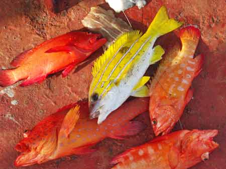
Copra and coconut oil are produced and exported, and some poultry and cattle are raised and vegetables grown for subsistence.
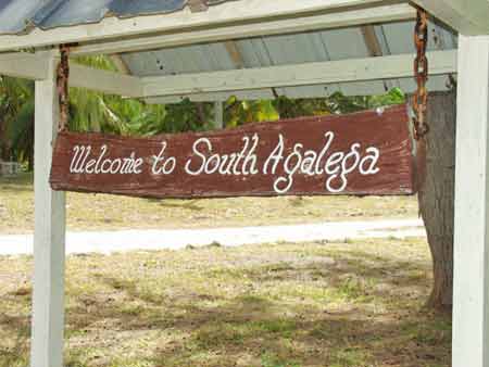
There are two villages, Vingt Cinq and la Fourche on North Island and Ste Rita the only village on South Island. Vingt Cinq village is the most important and most infrastructures are situated here.
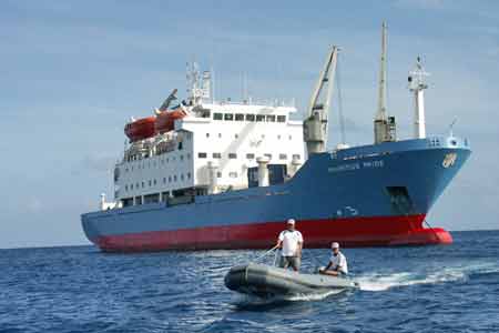
The trip there is either by boat on board the Mauritius Pride or by air on the coast guard aircraft The Dornier, from Mauritius.
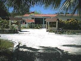
The administrative headquarters of Agalega Island is known as La Grande Case.
Until recently, there was no money in circulation on Agalega. Residents there paid their shopping in the island's two shops by signing government vouchers which were debited to their salary accounts. Everybody slept with their windows open and did not have to take any precautions against thefts.
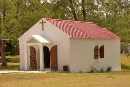
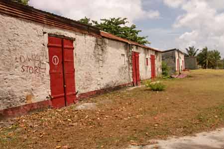
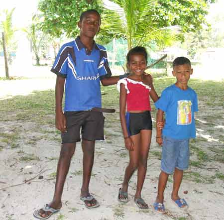
Pictures of Agaléga
with the compliments of Sir Frank Smith
 |
 |
 |
 |
 |
 |
 |
 |
 |
 |
 |
 |
 |
 |
 |
 |
 |
 |
 |
 |
 |
 |
 |
 |
 |